Tracking public investment and construction projects
Faso Observatoire
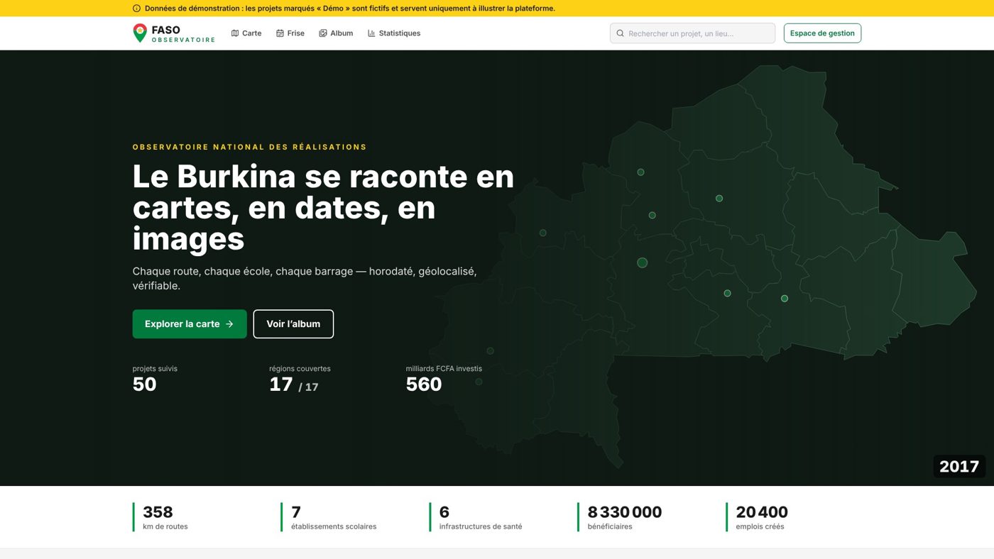
The living memory of Burkina Faso's achievements. Every road, every school, every dam — time-stamped, geolocated, verifiable. A national observatory of achievements, on a map, a timeline and a before/after album.
Public works — roads, schools, health centres, dams, developments — are numerous, but tracking them remains scattered across ministries, programmes and partners. Without an overall view or verifiable proof, it is hard to report to citizens and to steer investment.
Our solution
Faso Observatoire lists, maps, time-stamps and documents the country's projects through four public entry points — interactive map, timeline, before/after album and statistics dashboard — all fed by a sourced project page with a reliability rating. Behind the scenes, a collection module ensures no data is published without proof.
Features
Interactive map (street, satellite, terrain) with filters by sector, status, region, programme and donor
Timeline from 1960 to 2030 with an automatic playback mode
Panoramic before / after album, by keyboard or touch
Complete project page: funding, milestones, jobs, beneficiaries, sources, PDF export
Statistics by sector, status, donor, programme and region, with CSV export
Search tolerant of typos and accents
Open data in JSON, CSV and GeoJSON under a CC BY 4.0 licence
Guarantees
Can be hosted in Burkina Faso, with no dependency on a foreign cloud
No data published without proof
Accessible to visually impaired people
Screenshots taken on the demo version (fictitious data flagged as such)
The modules
01
8-step collection
From identified to published and monitored projects, with a tracking board for teams and collection campaigns.
02
9-tab guided form
A single form to create and update a project, with 14 quality checks, 8 of them blocking.
03
Reliability score out of 100
Each project shows the level of evidence behind it: sources, photos, documents, verifications.
04
Governance
Roles, audit log, moderation of contributions, imports and exports.
In pictures
Platform screenshots. Click to enlarge.
National map of achievements
Statistics by region
Timeline
Before / after album
8-step collection module
Our method for building an observatory
Five steps, from the first workshop to day-to-day operation.
01
Scope
Questions to answer, indicators, audiences, publication and confidentiality rules, with your teams.
02
Design
Geographic data model, mock-ups, user journeys, accessibility from the start.
03
Collect
Collection plan, field forms, validation workflow, quality checks and reliability score.
04
Publish
Map, dashboards, detail pages, open data and documented API.
05
Operate
Team training, sovereign hosting, maintenance, upgrades and usage tracking.
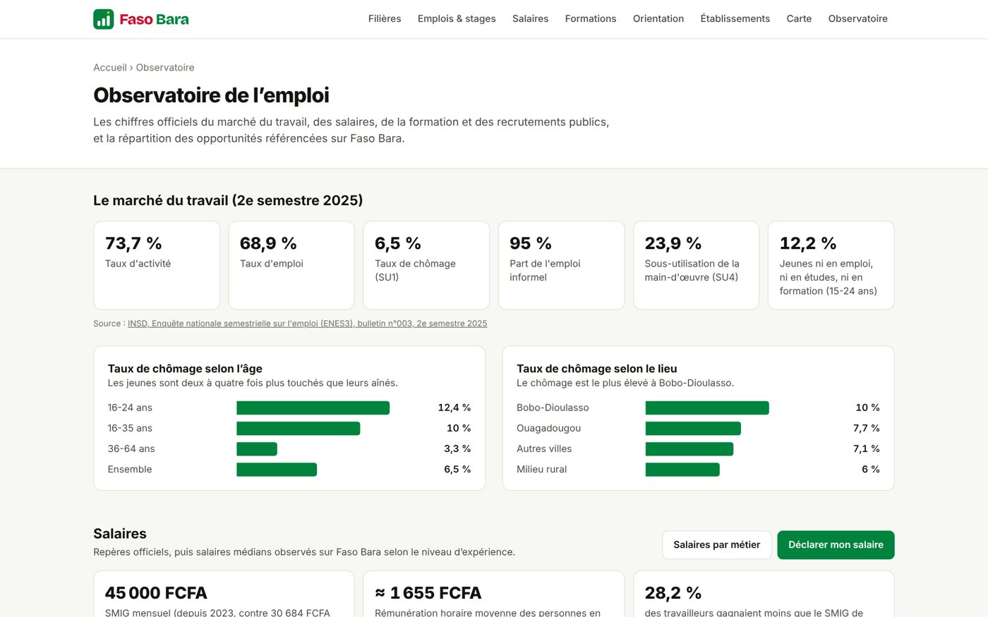
“No young person in Burkina Faso should choose their studies or career blindly.” Study programmes, institutions, job offers, competitive exams, salaries and labour-market indicators in one place.
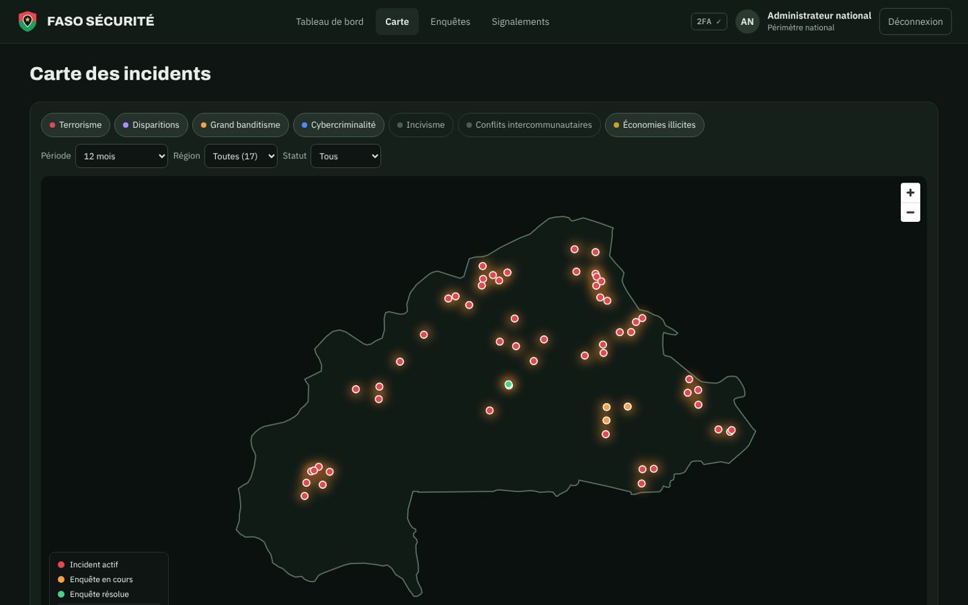
See, investigate, understand, protect: a sovereign platform that brings security information together on a single map, tracks every case end to end and lets citizens raise alerts safely.
Does your institution need an observatory?
Ministry, local authority, agency, donor or NGO: let's talk about your indicators. Free first conversation, reply within one business day.