Tracking public investment and construction projects
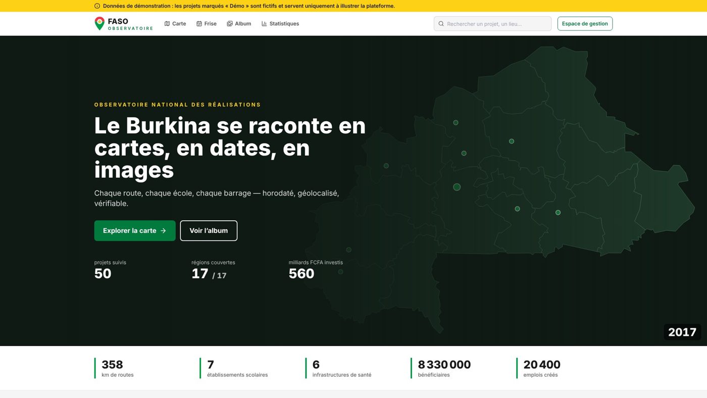
Faso Observatoire
Every road, every school, every dam — time-stamped, geolocated, verifiable. A national observatory of achievements, on a map, a timeline and a before/after album.
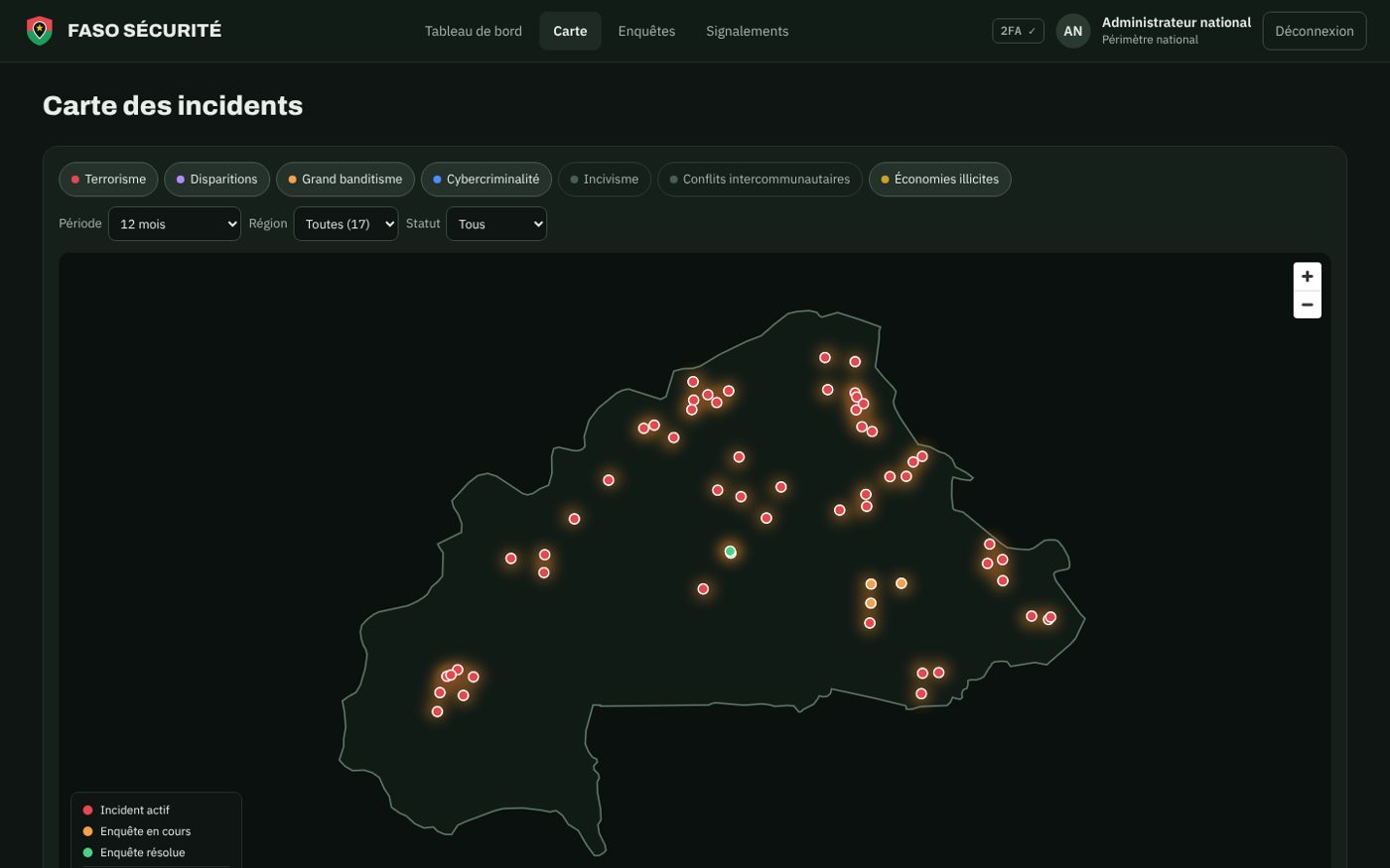
Several tools exist — IRAPOL, SYGDICAT, Alerte-BCLCC, Alerte Laabal, Sahel Watch — but each one only sees part of the picture. Without a consolidated view, it is hard to spot trends, coordinate services and report.
Faso Sécurité aggregates existing systems without replacing them. Defence and security forces get a national incident map, traceable case management and explained trend detection; citizens report an incident, even anonymously and offline, then follow their case.
Key indicators, recent incidents, urgent reports and trends to review.
Controlled workflow, mandatory reason to close or reopen, traceable sharing between services.
The engine proposes and explains; an authorised officer decides. No personal data is analysed.
Reports encrypted on the phone and sent automatically once the network returns; risk areas published.
Platform screenshots. Click to enlarge.
Security forces dashboard
Explained trend detection
Integrations with existing systems
Citizen app: report an incident
Citizen app: risk areas
Five steps, from the first workshop to day-to-day operation.
Questions to answer, indicators, audiences, publication and confidentiality rules, with your teams.
Geographic data model, mock-ups, user journeys, accessibility from the start.
Collection plan, field forms, validation workflow, quality checks and reliability score.
Map, dashboards, detail pages, open data and documented API.
Team training, sovereign hosting, maintenance, upgrades and usage tracking.
Tracking public investment and construction projects
Every road, every school, every dam — time-stamped, geolocated, verifiable. A national observatory of achievements, on a map, a timeline and a before/after album.
Youth employment, training and career guidance
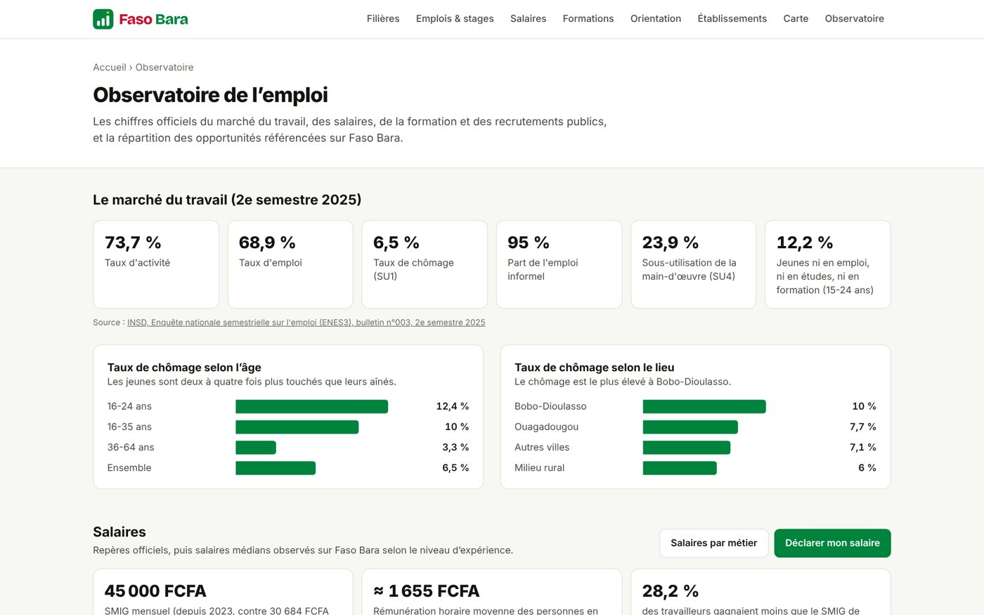
“No young person in Burkina Faso should choose their studies or career blindly.” Study programmes, institutions, job offers, competitive exams, salaries and labour-market indicators in one place.
Ministry, local authority, agency, donor or NGO: let's talk about your indicators. Free first conversation, reply within one business day.
ADE assistant
Instant replies · team available 8am–5:30pm